
 Script Planner Assistant▸
 AI Apps
 AI News

Chronas: An Interactive Platform Visualizing History and Geography
Chronas: An Interactive Platform Visualizing History and GeographyIntroduction
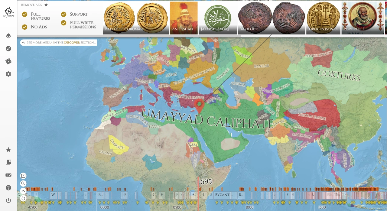
Chronas is an interactive platform that combines history and geography. It presents historical events through maps and timelines, helping you visually understand the changes in world history from 3000 BC to the present. Through Chronas, you can view geographic and event information from different historical periods—for example, you can explore battles between Viking warriors and the Carolingian dynasty's armies.
Chronas Key Features
Dynamic Historical Maps: Drag the timeline and select any year to view the distribution of regimes and territorial changes at that time.
Interactive Geography and Time: Click on a country or region on the map to view its historical background and description.
Wikipedia Links: Click on a country or person's name to jump directly to Wikipedia for detailed information.
Multiple Civilization Layers: Overlay layers such as religion, language, or economic development to observe history from different perspectives.
Chronas Target Users
Students and Teachers: Make history teaching more engaging and support classroom learning.
History Enthusiasts: Track the evolution of civilizations and analyze historical changes.
Travelers: Understand the historical background of various places to deepen cultural understanding.
Creators: Gain inspiration and build authentic historical contexts.
How to Use Chronas
Visit the website: Open the official Chronas site: https://chronas.org.
Select a Year: Drag the timeline at the bottom to choose a year such as "500 AD" or "1945."
Click on the Map: Choose a country or region to view the regime's name and related links.
View Details: Click the links to jump to Wikipedia for more information.
Use Layers: Enable layers such as religion or language on the left side to aid historical understanding.
Search Function: Enter a country, person, or event name to quickly locate information.
Chronas Use Cases
Teaching: Use interactive maps to spark student interest.
Research: Quickly find resources to support academic analysis.
Exploration: Like visiting a historical "playground," travel through time and discover civilizations.